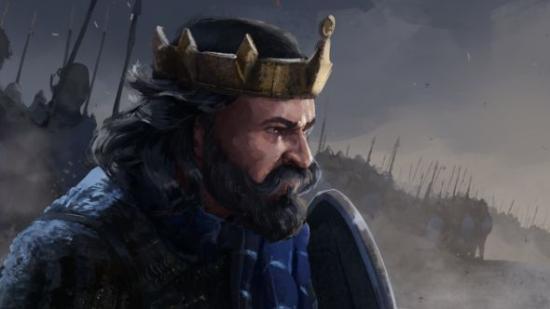
Creative Assembly have revealed new details about the map for the upcoming Total War Saga: Thrones of Britannia. A new blog post from the developers reveals the size of the campaign map, as well as discussing the factions, settlements, and history tied to the game.
Total War Saga: Thrones of Britannia is set in Britain after the Viking invasion.
Thrones of Britannia will provide the largest depiction of the British Isles of any Total War game. The campaign map is 23 times larger than the British Isles were in Total War: Attila, and is comparable in size the entirety of the campaign map from that game. That means the developers are able to work with actual terrain data, which will affect both battles and the main campaign.
An issue facing the development team on Thrones of Britannia was maintaining historical accuracy throughout the game. While records exist for many of the game’s ten factions, particularly in the South, no such records exist for Northern England and Scotland. To counter that, Creative Assembly have been working with Dr. Neil McGuigan from the University of St Andrews, who specialises in Scottish history in the seventh and eighth centuries, to provide the most historically accurate depiction of the region possible.
Finally, there’s been a change in how settlements work. Major settlements will be walled, and will come with six building slots. Minor settlements, however, will not be walled, and will have either one or two building slots, with the available buildings dependant on local geography. This means that many of the resource-gathering buildings aren’t found within the safety of major settlement walls, introducing new possibilities for both defense and attack.
Total War Saga: Thrones of Britannia is scheduled for release some time in 2018.
